Photos
Summary
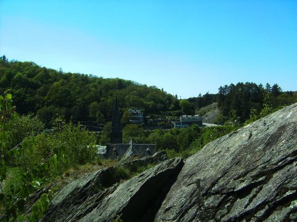
The Tourist Office has walking maps for the whole region. Well-marked, they wind through the valley, countryside and forest, winter and summer alike.
– La Roche-en-Ardenne on foot: 10 marked walks from La Roche-en-Ardenne and 3 marked walks from Halleux: 8 €.
The shortest are 6.2 km and 6.4 km long, then between 9 km and 15 km.
– La Roche-en-Ardenne MTB: 4 marked routes from La Roche-en-Ardenne ranging from 15 km to 24 km: 7 €.
– Ourthe Supérieure on foot (region between La Roche and Houffalize): 420 km of marked walks starting from Samrée, Nadrin, Bérismenil, Wibrin, Engreux, Achouffe, Maboge, Bonnerue, Mormont, Vellereux: 8 €.
– Ourthe Supérieure MTB: 5 marked routes starting from Achouffe, Bérismenil, Bonnerue, Engreux, Filly, Maboge, Mormont, Nadrin, Ollomont, Samrée, Vellereux and Wibrin, ranging from 15 to 42 km: 7 €.
– Ortho on foot(region to the south of La Roche): 65 km of marked walks: 7 €.
– Houffalize on foot: 10 marked walks, 85 km: 7 €.
– Houffalize MTB: 6 marked routes from Houffalize ranging from 18 to 36 km: 7 €.
– Erezée-Manhay on foot: map with marked walks: currently out of stock.
– Manhay-Erezée-Rendeux MTB: 14 marked routes ranging from 5 to 52 km: 8 €.
– Rendeux-Marcourt: map with walking, cycling and horse-riding routes: 7 €.
– Tenneville-Champlon: map with walking, mountain biking and ski routes: 8 €.
Long-distance hikes:
G.T.A. (Bouillon-La Roche), card and guide.
GR 14 topoguide + GR 57
Escapardenne: cards and guides.
The Forest Park is a 15 ha park with 40 different tree species. There are picnic and rest areas. Very little hilly, the walking paths of this park make it an ideal place for families with small children, as well as for people with disabilities.
Practical info
ADDRESS
Place du Marché, 15
6980 La Roche-en-Ardenne
PHONE
+ 32 (0) 84 36 77 36
Rates
Rates may vary.
See description.
Timetables
Timetables may vary.
Open every day from 9:30 am to 5 pm.
Accessibility
No information.


