Photos
Summary
This Celtic fortification served as a safe haven for the surrounding peoples during the 7th, 6th and 5th centuries BC. The site is listed as a Patrimoine Majeur de Wallonie under the name “Site archéologique du Cheslé” between Maboge and Nisramont.
According to local folklore, this remarkable and difficult-to-reach site was the haunt of all the elves. Indisputable traces of occupation reveal the presence here of a little-known tribe. Recorded on the Ferraris map in 1777 and recognised in 1867 by Sulbout, Cheslé has been the subject of numerous excavation campaigns since 1905. The site has yielded a wide range of archaeological material, some of which has been carbon-14 dated to around 519 BC (First Iron Age, or Hallstatt).
Serious archaeological excavations began in 1960. Cheslé, derived from châtelet or castle, is a Celtic fortress (probably the largest in Belgium – 13 hectares) that was occupied between the 8th and 6th centuries BC. It is a kind of oppidum.
The double rampart, which stretches for more than 1,750 metres, was remarkably improved throughout the Celtic occupation. A reconstruction of this structure was carried out by the Société Nationale des Fouilles in 1980, giving an idea of the ingenuity of this people and demonstrating the deterrent effect of the fortress against any invaders.
Excavations carried out by the Université Libre de Bruxelles studied the structure of the barrier wall erected on the narrowing of the loop, the most sensitive part of the fortification, providing a wall some 6 metres high against any attack from the high plateau.
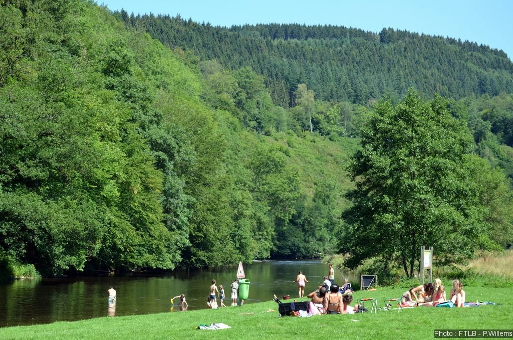
The historic and picturesque site is well worth a half-day walk.
Practical info
ADDRESS
Bérismenil
6980 La Roche-en-Ardenne
PHONE
+32 (0) 84 36 77 36
Rates
Rates may vary.
Free of charge.
Timetables
Timetables may vary.
Accessible all the time.
Accessibility
Site not accessible to PRM.